

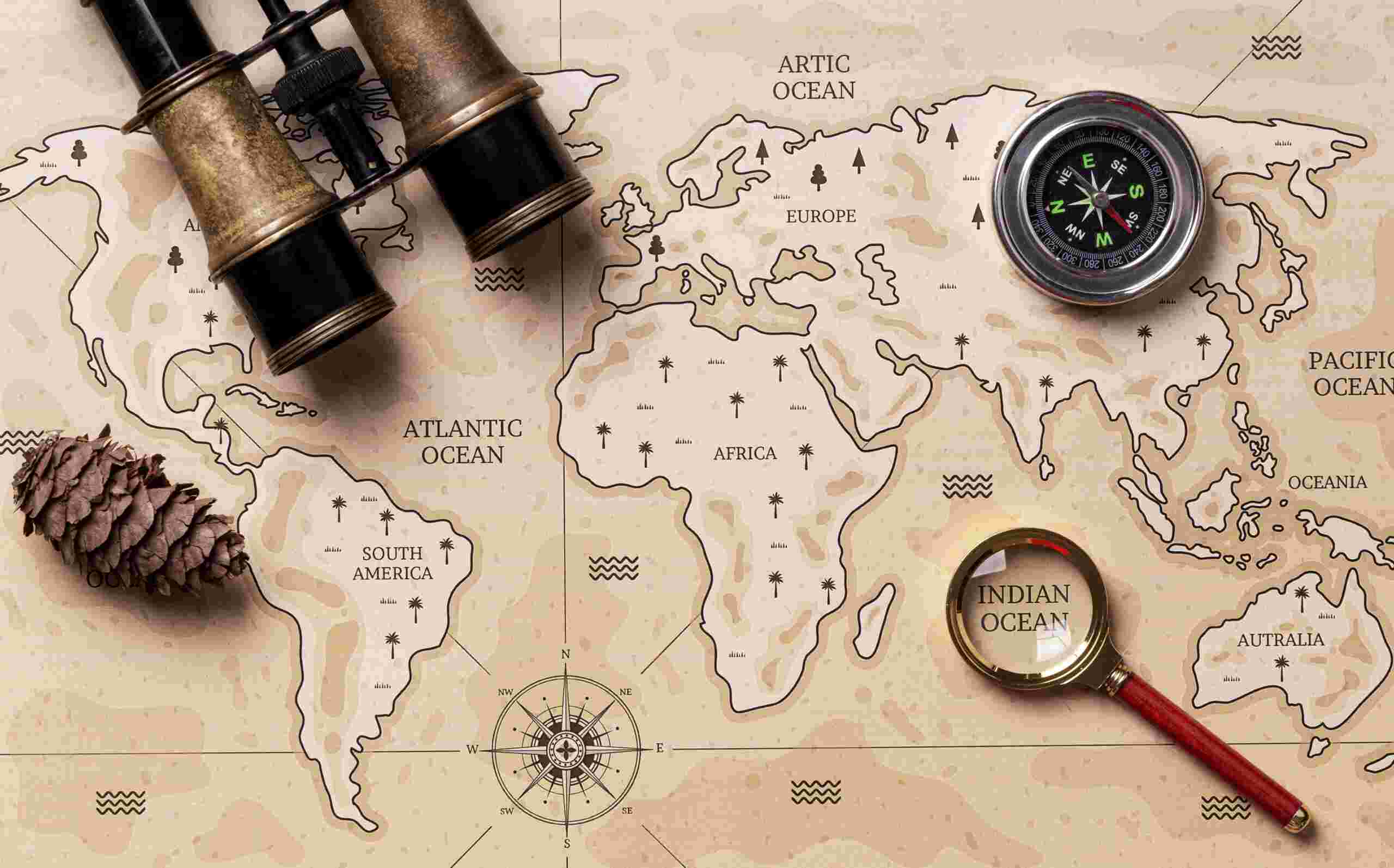
A curated question bank of 100 General Knowledge questions covering major topics in Geography—including Physical Geography & Geomorphology, Climatology & Meteorology, Oceans & Hydrology, World Political & Regional Geography, and Human & Economic Geography.
Geography GK Question Bank
Physical Geography & Geomorphology (Q1–Q20)
- What is the outermost solid layer of the Earth called?
- What supercontinent existed during the late Paleozoic and early Mesozoic eras before breaking apart?
- What is the highest mountain peak above sea level on Earth?
- What type of rock is formed from the cooling and solidification of molten magma or lava?
- What type of rock forms from the accumulation and compression of mineral or organic particles?
- What scale measures the magnitude of seismic energy released by an earthquake?
- What deep funnel-shaped depression or circular hole is created when surface soil or bedrock collapses into underground caves?
- What boundary line or region separates two drainage basins?
- What term describes a crescent-shaped sand dune produced by wind action in one direction?
- What force or process causes the breaking down of rocks at Earth’s surface through weather elements?
- What geological process involves the movement and transport of weathered soil and rock fragments by wind, water, or ice?
- What narrow strip of land connects two larger landmasses and has water on two sides?
- What ring-shaped coral reef or island encloses a central lagoon?
- What narrow, deep inlet of the sea between steep cliffs was carved by glacial activity?
- What geological zone surrounding the Pacific Ocean experiences frequent earthquakes and volcanic eruptions?
- What physical feature is formed at the mouth of a river by sediment deposition as the river enters slow-moving water?
- What boundary marks the point where tectonic plates move away from each other?
- What boundary marks the point where two tectonic plates slide horizontally past one another?
- What landform is created when a block of Earth’s crust drops down between two parallel fault lines?
- What is the deepest known location in Earth’s oceans?
Climatology & Meteorology (Q21–Q40)
- What layer of Earth’s atmosphere contains nearly all weather phenomena and cloud formations?
- What atmospheric layer absorbs and blocks harmful ultraviolet (UV) radiation from the Sun?
- What global wind pattern moves weather systems from west to east in the mid-latitudes?
- What wind pattern shifts seasonally, bringing heavy rainfall to South Asia during summer months?
- What line on a weather map connects points of equal barometric pressure?
- What line on a map connects points of equal temperature?
- What phenomenon causes moving air and water masses to turn right in the Northern Hemisphere and left in the Southern Hemisphere due to Earth’s rotation?
- What instrument is used to measure atmospheric pressure?
- What atmospheric warming process occurs when greenhouse gases trap heat radiated from Earth’s surface?
- What fast-flowing, narrow air currents are found near the altitude of the tropopause?
- What climate region receives less than $250\text{ mm}$ ($10\text{ inches}$) of annual precipitation?
- What term describes the dry, low-precipitation region on the leeward side of a mountain range?
- What measure quantifies the actual amount of water vapor present in the air relative to the maximum amount the air can hold at that temperature?
- What climate classification system categorizes world climates using temperature, precipitation, and vegetation limits?
- What periodic climate pattern involves abnormal warming of surface waters in the central and eastern tropical Pacific Ocean?
- What ocean-atmospheric phenomenon represents the cool phase counterpart to El Niño?
- What localized, violently rotating column of air extends from a thunderstorm to the ground?
- What scale categorizes hurricane intensity from Category 1 to Category 5 based on sustained wind speeds?
- What dense cloud of water droplets suspended in the air near the ground reduces visibility to less than $1\text{ km}$?
- What treeless, cold biome features permanently frozen subsoil known as permafrost?
Oceans & Hydrology (Q41–Q60)
- What is the largest and deepest ocean on Earth?
- What warm Atlantic ocean current originates in the Gulf of Mexico and flows toward Western Europe?
- What ocean floor zone extends from the coastline to the drop-off point at the continental slope?
- What measure quantifies the total concentration of dissolved salts in seawater?
- What regular rise and fall of sea levels is caused by the gravitational pull of the Moon and Sun?
- What type of tide produces the greatest difference between high and low water, occurring during full and new moons?
- What type of tide produces the least difference between high and low water, occurring during quarter moons?
- What is the longest river in the world?
- What river carries the largest volume of water globally?
- What body of water connects the Mediterranean Sea directly to the Red Sea?
- What narrow maritime passage links the Persian Gulf to the Gulf of Oman and the Arabian Sea?
- What narrow body of water separates the Malay Peninsula from the Indonesian island of Sumatra?
- What is the largest inland lake or body of water by surface area on Earth?
- What is the deepest freshwater lake in the world, located in Siberia?
- What high-altitude lake sitting on the border between Peru and Bolivia is the highest commercially navigable lake?
- What underground layer of water-bearing permeable rock or sediment yields groundwater?
- What river flows through the Grand Canyon in the southwestern United States?
- What major European river flows eastward through ten countries before emptying into the Black Sea?
- What river flows through central Africa and crosses the equator twice?
- What term describes the entire land area drained by a river system and its tributaries?
World Regional & Political Geography (Q61–Q80)
- What is the largest country in the world by land area?
- What is the smallest independent state in the world by land area and population?
- What mountain range forms a traditional physical border between Europe and Asia?
- What is the capital city of Australia?
- What is the capital city of Canada?
- What landlocked country in South America shares borders with Brazil, Argentina, and Bolivia?
- What African nation has three designated capital cities (Pretoria, Cape Town, and Bloemfontein)?
- What country in Southeast Asia was historically known as Siam?
- What landlocked European nation is divided into 26 administrative cantons and maintains perpetual neutrality?
- What is the largest island in the world (excluding continental landmasses)?
- What archipelago nation in Southeast Asia consists of more than 17,000 islands?
- What desert in northern Africa is the largest hot desert in the world?
- What high-elevation plateau region in East Asia is frequently referred to as the “Roof of the World”?
- What sea located between Jordan and Israel features hyper-saline water in which humans float effortlessly?
- What country occupies the southern portion of the Iberian Peninsula alongside Portugal?
- What nation shares the longest land border in the world with the United States?
- What capital city sits closest to the equator ($0^\circ$ latitude)?
- What country contains the highest number of natural lakes in the world?
- What narrow strait separates the southern tip of South America from Tierra del Fuego?
- What African country was formerly known as Abyssinia?
Human, Economic & Environmental Geography (Q81–Q100)
- What term describes the total number of people living per unit of land area?
- What model illustrates the transition from high birth and death rates to low birth and death rates as a country develops?
- What geographic term refers to a massive, continuous urban network formed by the merging of multiple metropolitan areas?
- What term describes the movement of people from rural areas into cities and towns?
- What factor in migration pushes people away from their home region (e.g., war, poverty)?
- What factor in migration attracts people to a new destination (e.g., job opportunities, safety)?
- What mapping property projects Earth’s curved 3D surface onto a flat 2D plane?
- What map projection preserves shape and angles but severely distorts the size of landmasses near the poles?
- What system uses a network of orbiting satellites to determine precise geographic location on Earth’s surface?
- What computer system gathers, stores, analyzes, and displays geographically referenced data?
- What line of zero longitude passes through the Royal Observatory in Greenwich, London?
- What line roughly follows the $180^\circ$ meridian and marks where the calendar date shifts by one day?
- How many degrees of latitude separate the Equator ($0^\circ$) from the North Pole ($90^\circ\text{N}$)?
- What parallel of latitude lies at approximately $23.5^\circ\text{N}$ of the Equator?
- What parallel of latitude lies at approximately $23.5^\circ\text{S}$ of the Equator?
- What agricultural practice involves cultivating a single crop over a large area year after year?
- What process converts fertile or arable land into arid desert due to climate change or soil mismanagement?
- What energy resource is derived from the internal heat of the Earth?
- What statistical metric indicates the average number of children born to a woman during her reproductive years?
- What geographical term describes an ethnic group or nation that lacks a sovereign state of its own (e.g., the Kurds)?
Answer Key (1–100)
- Crust
- Pangaea
- Mount Everest ($8,848.86\text{ m}$)
- Igneous rock
- Sedimentary rock
- Richter scale (or Moment Magnitude Scale)
- Sinkhole (or Cenote)
- Drainage divide (or Watershed)
- Barchan
- Weathering
- Erosion
- Isthmus
- Atoll
- Fjord
- Ring of Fire (Circum-Pacific Belt)
- Delta
- Divergent boundary
- Transform boundary
- Rift valley (or Grabens)
- Challenger Deep (in the Mariana Trench)
- Troposphere
- Stratosphere (Ozone layer)
- Westerlies
- Monsoon
- Isobar
- Isotherm
- Coriolis Effect
- Barometer
- Greenhouse effect
- Jet stream
- Desert (Arid climate)
- Rain shadow
- Relative humidity
- Köppen climate classification
- El Niño
- La Niña
- Tornado
- Saffir-Simpson scale
- Fog
- Tundra
- Pacific Ocean
- Gulf Stream
- Continental shelf
- Salinity
- Tides
- Spring tide
- Neap tide
- Nile River (or Amazon River, depending on recent cartographic measurements)
- Amazon River
- Suez Canal
- Strait of Hormuz
- Strait of Malacca
- Caspian Sea
- Lake Baikal
- Lake Titicaca
- Aquifer
- Colorado River
- Danube River
- Congo River
- Drainage basin (or River basin)
- Russia
- Vatican City
- Ural Mountains
- Canberra
- Ottawa
- Paraguay
- South Africa
- Thailand
- Switzerland
- Greenland
- Indonesia
- Sahara Desert
- Tibetan Plateau
- Dead Sea
- Spain
- Canada
- Quito (Ecuador)
- Canada
- Strait of Magellan
- Ethiopia
- Population density
- Demographic Transition Model (DTM)
- Megalopolis (or Conurbation)
- Urbanization
- Push factor
- Pull factor
- Map projection
- Mercator projection
- GPS (Global Positioning System)
- GIS (Geographic Information System)
- Prime Meridian
- International Date Line
- $90^\circ$
- Tropic of Cancer
- Tropic of Capricorn
- Monoculture
- Desertification
- Geothermal energy
- Total Fertility Rate (TFR)
- Stateless nation
Leave a Reply